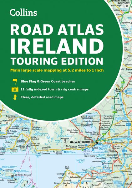
Road Atlas Ireland Touring Edition A4 Paperback
-
- Englisch ausgewählt
8,99 €
inkl. gesetzl. MwSt.,
Beschreibung
Produktdetails
Einband
Taschenbuch
Erscheinungsdatum
02.03.2023
Verlag
Collins ELTSeitenzahl
64
Maße (L/B/H)
30,2/21,1/0,4 cm
Gewicht
216 g
Sprache
Englisch
ISBN
978-0-00-859767-2
Explore Ireland with this accurate and fully updated road atlas.
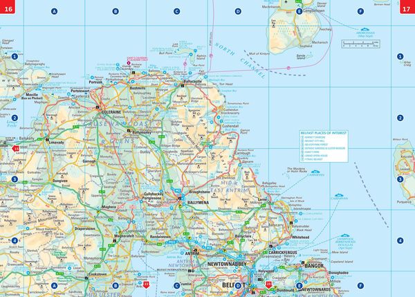
This road atlas is at A4 size, covering the whole of Ireland and features clear and detailed Collins colour mapping at a scale of 5.2 miles to 1 inch. Perfect for both residents and visitors
touring Ireland.
This revised edition includes:
- Places of tourist interest
- Contact information for Tourist Information Centres with grid references to the mapping
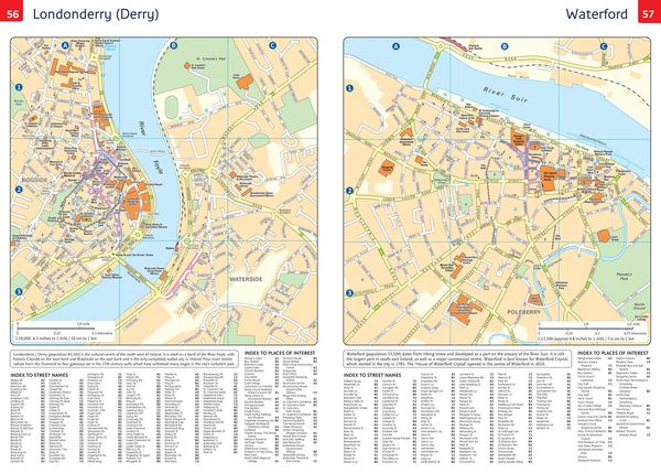
- Fully indexed street maps of 11 cities and towns - Dublin, Belfast, Cork, Limerick, Waterford,
Londonderry (Derry), Galway, Bangor, Dun Laoghaire, Drogheda and Killarney - Blue Flag & Green Coast beaches
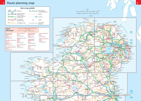
- Ferry and airport information; Distance chart; Distances marked on the roads in miles and kilometres
- Route planning map of the whole of Ireland at 15.8 miles to 1 inch
- Administrative map of Irish counties and districts.
Kundinnen und Kunden meinen
Verfassen Sie die erste Bewertung zu diesem Artikel
Helfen Sie anderen Kund*innen durch Ihre Meinung
Kurze Frage zu unserer Seite
Vielen Dank für Ihr Feedback
Wir nutzen Ihr Feedback, um unsere Produktseiten zu verbessern. Bitte haben Sie Verständnis, dass wir Ihnen keine Rückmeldung geben können. Falls Sie Kontakt mit uns aufnehmen möchten, können Sie sich aber gerne an unseren Kund*innenservice wenden.
zum Kundenservice