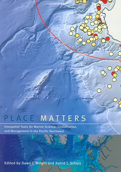
Place Matters: Geospatial Tools for Marine Science, Conservation, and Management in the Pacific Northwest Geospatial Tools For Marine Science, Conservation, And Management in
-
- Englisch ausgewählt
36,99 €
inkl. gesetzl. MwSt.,
Beschreibung
Produktdetails
Einband
Taschenbuch
Erscheinungsdatum
01.05.2005
Verlag
Oregon State University PressSeitenzahl
305
Maße (L/B/H)
25,4/17,9/2 cm
Gewicht
631 g
Sprache
Englisch
ISBN
978-0-87071-057-5
Although the ocean provides living space for about 97 percent of life on Earth, less than 5 percent of the ocean below the surface has actually been seen, let alone explored. Now, using the geogrpahic information system (GIS), marine scientists are gaining new insights into a once-mysterious world. A technologically sophisticated database, information-management, and display system, GIS holds tremendous potential for mapping, interpreting, and managing ocean environments--"from the seafloor to the seafloor to the shoreline. "Place Matters explores how marine GIS is contributing to the understanding, management, and conservation of the shores and ocean of the Pacific Northwest, which is becoming a hotbed of marine GIS development and applications as scientists expand the use of this cutting-edge technology to a variety of ocean science, policy, and management issues. Using these geospatial databases and tools, scientists, resource managers, and conservationists--"often in collaboration--"are making advances in the way that data are collected, documented, used, shared, and saved. The contributors to "Place Matters show how together they are using GIS to hadle and exploit present and future data streams from observatories, experiments, numerical models, simulations, and other sources, yielding fresh insights into oceanographic, ecological, and socioeconomic conditions of the marine environment. The book begins with a conceptual framework, laying out selected methods and models for conservation-based marine GIS. Chapters in the second section describe working examples of marine GIS tools and large-scale implementations. The final section focuses onthe use of GIS by environmntal advocacy andlocal citizens' organizations. A companion Web site includes GIS maps and databases, as well as extensive Web-based resources. with its unique focus on the use of GIS to solve marine conservation problems, "Place Matters offers an important new resources for all who study
Noch keine Bewertungen vorhanden
Verfassen Sie die erste Bewertung zu diesem Artikel
Helfen Sie anderen Kundinnen und Kunden durch Ihre Meinung.
Kurze Frage zu unserer Seite
Vielen Dank für Ihr Feedback
Wir nutzen Ihr Feedback, um unsere Produktseiten zu verbessern. Bitte haben Sie Verständnis, dass wir Ihnen keine Rückmeldung geben können. Falls Sie Kontakt mit uns aufnehmen möchten, können Sie sich aber gerne an unseren Kund*innenservice wenden.
zum Kundenservice