Beschreibung
Produktdetails
Einband
Gebundene Ausgabe
Erscheinungsdatum
15.06.2000
Verlag
John Wiley & SonsSeitenzahl
352
Maße (L/B/H)
25,1/17,4/2,7 cm
Gewicht
826 g
Sprache
Englisch
ISBN
978-0-471-96592-3
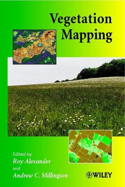
This book seeks to provide a review of recent developments in vegetation mapping and the purposes for which it is carried out by bringing together a series of case studies covering techniques and their applications at a range of spatial scales. The work included covers scales of enquiry from the quadrat to the biome, studies based on data gathered from ground, air and space, and applications of mapping in temperate, semi arid and tropical environments. Issues involved in the use of data sets from different sources, the recognition and handling of error and the effects of scale are also given detailed consideration. The volume concludes with a review of contemporary approaches to vegetation mapping and the identification of some key research questions.
Vegetation Mapping will thus serve as a collected source of reference on techniques and approaches for the researcher while providing a rich variety of case study and methodological information for postgraduate students and undergraduates following specialist courses.
Noch keine Bewertungen vorhanden
Verfassen Sie die erste Bewertung zu diesem Artikel
Helfen Sie anderen Kundinnen und Kunden durch Ihre Meinung.
Kurze Frage zu unserer Seite
Vielen Dank für Ihr Feedback
Wir nutzen Ihr Feedback, um unsere Produktseiten zu verbessern. Bitte haben Sie Verständnis, dass wir Ihnen keine Rückmeldung geben können. Falls Sie Kontakt mit uns aufnehmen möchten, können Sie sich aber gerne an unseren Kund*innenservice wenden.
zum Kundenservice