International Perspectives on Maps and the Internet
Aus der Reihe
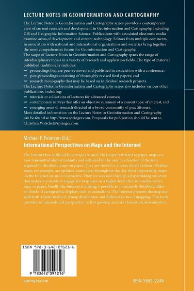
Lecture Notes in Geoinformation and Cartography
-
- Hardcover
- Taschenbuch ausgewählt
-
Sprache:Englisch
195,99 €
inkl. gesetzl. MwSt.,
Beschreibung
Produktdetails
Einband
Taschenbuch
Erscheinungsdatum
18.11.2010
Herausgeber
Michael P. PetersonVerlag
Springer BerlinSeitenzahl
441
Maße (L/B/H)
23,5/15,5/2,6 cm
Gewicht
710 g
Auflage
Softcover reprint of hardcover 1st ed. 2008
Sprache
Englisch
ISBN
978-3-642-09121-6
1 International Perspectives on Maps and the Internet: An Introduction Michael P. Peterson . . . . . . . . . . . . . . . . . . . . . . . . . . . . . . . . . . . . . . . . . . . . . . . . . . . . . . . . . . . . . . . . . . . . . . . . . . . . . . . . . . . . . . . 3 2 Delivering geospatial information with Web 2. 0 William Cartwright . . . . . . . . . . . . . . . . . . . . . . . . . . . . . . . . . . . . . . . . . . . . . . . . . . . . . . . . . . . . . . . . . . . . . . . . . . . . . . . . . . . . . . . . 11 3 Map design for the Internet Bernhard Jenny, Helen Jenny, Stefan Räber . . . . . . . . . . . . . . . . . . . . . . . . . . . . . . . . . . . . . . . . . . . . . . . . . . 31 4 Web Cartography and the Dissemination of Cartographic Information about Coastal Inundation and Sea Level Rise Mark Monmonier . . . . . . . . . . . . . . . . . . . . . . . . . . . . . . . . . . . . . . . . . . . . . . . . . . . . . . . . . . . . . . . . . . . . . . . . . . . . . . . . . . . . . . . . . . 49 5 An Elastic Map System with Cognitive Map-based Operations Naohisa Takahashi . . . . . . . . . . . . . . . . . . . . . . . . . . . . . . . . . . . . . . . . . . . . . . . . . . . . . . . . . . . . . . . . . . . . . . . . . . . . . . . . . . . . . . . . . 73 1 International Perspectives on Maps and the Internet: An Introduction Michael P. Peterson 1. 1 Introduction The Mosaic browser, the ? rst to support graphics, was introduced in 1993 and, at some point during that year, the ? rst map was transmitted through the Internet to a web page. Little notice was taken of the ? rst web map but the development of Internet cartography since has been nothing but remarkable. The new medium of communication changed maps from static entities on paper to dynamic products of interaction. Millionsof maps are now created by servers every hour and transmitted through the Internet. When we need to ? nd a place or ? nd out about a place, we turn immediately to these servers through the Internet. In a few short years, the World Wide Web has transformed the Internet into the primary medium for the dissemi- tion of spatial information in the form of maps.
Kundinnen und Kunden meinen
Verfassen Sie die erste Bewertung zu diesem Artikel
Helfen Sie anderen Kund*innen durch Ihre Meinung
Kurze Frage zu unserer Seite
Vielen Dank für Ihr Feedback
Wir nutzen Ihr Feedback, um unsere Produktseiten zu verbessern. Bitte haben Sie Verständnis, dass wir Ihnen keine Rückmeldung geben können. Falls Sie Kontakt mit uns aufnehmen möchten, können Sie sich aber gerne an unseren Kund*innenservice wenden.
zum Kundenservice