Multimedia Cartography
-
- Hardcover
- Taschenbuch ausgewählt
- eBook
-
Sprache:Englisch
194,99 €
inkl. gesetzl. MwSt.,
Beschreibung
Produktdetails
Einband
Taschenbuch
Erscheinungsdatum
14.10.2010
Abbildungen
XXVI, 105 illus., schwarz-weiss Illustrationen
Herausgeber
William Cartwright + weitereVerlag
Springer BerlinSeitenzahl
546
Maße (L/B/H)
23,5/15,5/3,1 cm
Gewicht
866 g
Auflage
Second Edition 2007
Sprache
Englisch
ISBN
978-3-642-07173-7
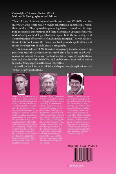
Multimedia Cartography provides a contemporary overview of the issues related to multimedia cartography and the design and production elements that are unique to this area of mapping. The book has been written for professional cartographers interested in moving into multimedia mapping, for cartographers already involved in producing multimedia titles who wish to discover the approaches that other practitioners in multimedia cartography have taken and for students and academics in the mapping sciences and related geographical fields wishing to update their knowledge about current issues related to cartographic design and production. It provides a new approach to cartography – one based on the exploitation of the many ‘rich media’ components and avant-garde approach that multimedia offers.
Kundinnen und Kunden meinen
Verfassen Sie die erste Bewertung zu diesem Artikel
Helfen Sie anderen Kund*innen durch Ihre Meinung
Kurze Frage zu unserer Seite
Vielen Dank für Ihr Feedback
Wir nutzen Ihr Feedback, um unsere Produktseiten zu verbessern. Bitte haben Sie Verständnis, dass wir Ihnen keine Rückmeldung geben können. Falls Sie Kontakt mit uns aufnehmen möchten, können Sie sich aber gerne an unseren Kund*innenservice wenden.
zum Kundenservice