Discriminating Different Tillage Through remote sensing approach
-
- Englisch ausgewählt
43,99 €
UVP
49,00 €
inkl. gesetzl. MwSt.,
Beschreibung
Produktdetails
Einband
Taschenbuch
Erscheinungsdatum
30.07.2012
Verlag
LAP LAMBERT Academic PublishingSeitenzahl
92
Maße (L/B/H)
22/15/0,6 cm
Gewicht
155 g
Sprache
Englisch
ISBN
978-3-659-19368-2
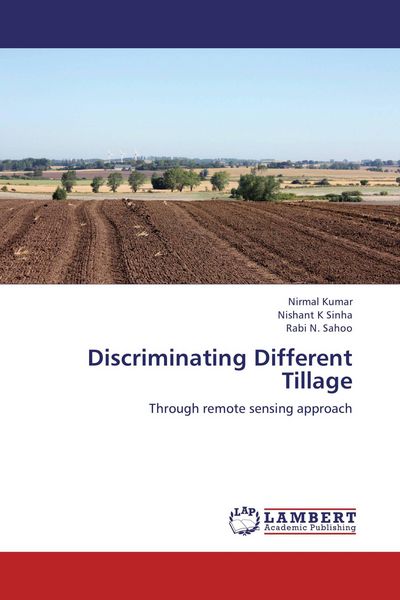
Conservation tillage has evolved in past three decades toward less soil inversion and maintenance of crop residue on the soil surface. Knowledge of area under conservation tillage would be important for various ecological models. Remote sensing techniques show promise in providing such spatial data over a large area in a time and cost-effective manner. A study was conducted with the objectives to characterize the spectral behaviour of wheat crop under different tillage practices and, to discriminate different tillage adopted areas through multi-spectral remote sensing satellite data. Spectral behaviour of wheat crop were evaluated to characterize temporal crop growth behaviour as affected by tillage options and to find suitable band, time and index/indices for capturing the differential crop response to tillage options. Rice- wheat area was estimated using temporal NDVI profile of pre-processed satellite data of IRS P6, LISS -III and decision tree classification. Satellite image of November, when mostly land remains fallow, was used for mapping for RCT and CT areas using logistic regression and spectral angle mapper techniques.
Noch keine Bewertungen vorhanden
Verfassen Sie die erste Bewertung zu diesem Artikel
Helfen Sie anderen Kundinnen und Kunden durch Ihre Meinung.
Kurze Frage zu unserer Seite
Vielen Dank für Ihr Feedback
Wir nutzen Ihr Feedback, um unsere Produktseiten zu verbessern. Bitte haben Sie Verständnis, dass wir Ihnen keine Rückmeldung geben können. Falls Sie Kontakt mit uns aufnehmen möchten, können Sie sich aber gerne an unseren Kund*innenservice wenden.
zum Kundenservice