• Produktbild: History of Cartography
  • Produktbild: History of Cartography
- 13%

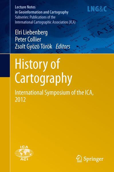
History of Cartography International Symposium of the ICA, 2012

13% sparen

138,99 € UVP 160,49 €

inkl. gesetzl. MwSt., Versandkostenfrei


Beschreibung

Produktdetails

Einband

Gebundene Ausgabe

Erscheinungsdatum

05.09.2013

Abbildungen

IX, 336 p.

Herausgeber

Elri Liebenberg + weitere

Verlag

Springer Berlin

Seitenzahl

336

Maße (L/B/H)

24,1/16/2,4 cm

Gewicht

688 g

Auflage

2014

Sprache

Englisch

ISBN

978-3-642-33316-3

Beschreibung

Produktdetails

Einband

Gebundene Ausgabe

Erscheinungsdatum

05.09.2013

Abbildungen

IX, 336 p.

Herausgeber

Verlag

Springer Berlin

Seitenzahl

336

Maße (L/B/H)

24,1/16/2,4 cm

Gewicht

688 g

Auflage

2014

Sprache

Englisch

ISBN

978-3-642-33316-3

Herstelleradresse

Springer-Verlag GmbH
Tiergartenstr. 17
69121 Heidelberg
DE

Email: ProductSafety@springernature.com

Noch keine Bewertungen vorhanden

Verfassen Sie die erste Bewertung zu diesem Artikel

Helfen Sie anderen Kundinnen und Kunden durch Ihre Meinung.

Kundinnen und Kunden meinen

Bewertungen (0)

  • Produktbild: History of Cartography
  • Produktbild: History of Cartography
  • Redefining Imperial Borders: Marking the Eastern Border of the Habsburg Monarchy in the Second Half of the Eighteenth Century.- Exploring and mapping the Danube: Reading a hydrographical map of Buda and Pest (1833).- Saxony’s role in the measurement of the Central European Meridian Arc as an international geodetic project since 1862.- Media-related Aspects of Popularization: The Geographical Serials from the Publishing Houses of Friedrich Justin Bertuch.- Exploring along the Rome Meridian –  Roger Boscovich and the First Modern Map of the Papal States.- The Mineral Maps of L. F. Marsigli and the Mystery of a Mine Map.- The long life of a 1:200 000 map of Central Europe and the Balkans.- Villages, Actors of Local Cartography? The Cadastral Maps of the Banat (1772-79).- The Historical Evolution of Craiova Municipality (Romania) Results from the Analysis of Cartographic Documents.- A Brief History of the Boundary Mapping Between Indonesia  and Timor-Leste.- Colonial Powers and Geographic Naming -A Case study of Orchid Island (Lanyu), Taiwan.