Beschreibung
Produktdetails
Einband
Taschenbuch
Erscheinungsdatum
18.03.2012
Verlag
Springer UsSeitenzahl
184
Maße (L/B/H)
27,9/21/1,2 cm
Gewicht
539 g
Auflage
Softcover reprint of the original 1st ed. 1990
Sprache
Englisch
ISBN
978-1-4684-6664-5
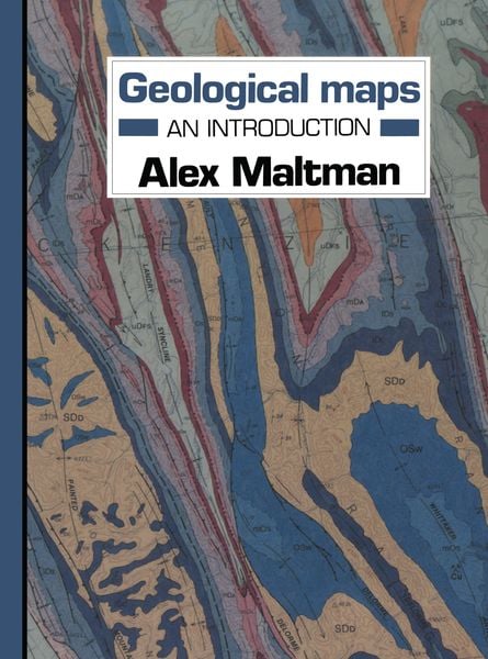
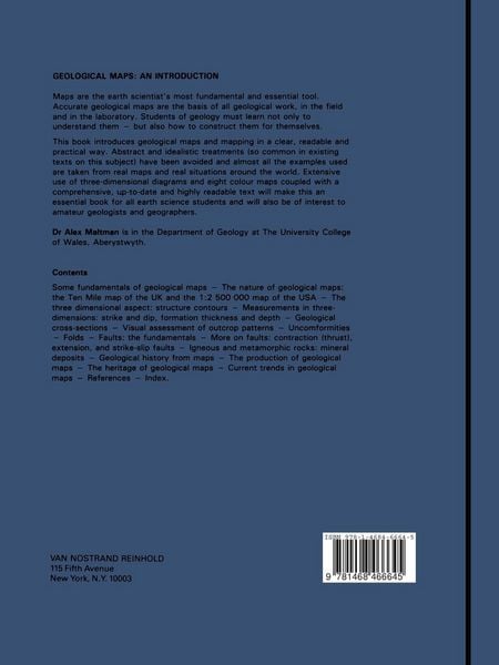
A recent national survey of geology students indicated that, In a subject so fundamental and yet so varied, every although they saw the need for a basic training in map geologist will have his own views on geological maps - the work, the three-dimensional aspects involved formed the matters needing emphasis, the best methods of interpreta single most difficult part of an introductory geology tion, good examples of maps, and so on. Instructors may course, and that it was generally taught in a way both ab therefore urge in their taught courses different priorities stract and dull. At the same time, there was no book which from those given here, and, although a wide range of maps puzzled students could turn to for explanations; no book and map exercises is included, will prefer to continue to which told them more about real geological maps. This use their own 'pet' examples. But this is meant primarily to book is an attempt to fill that need. It is based on the view be a book for the student - to turn to for clarification, for that in these days of increasing specialisation the geological further information, and simply to learn a little more about map remains the vital coordinating document, and that the geological maps.
Kundinnen und Kunden meinen
Verfassen Sie die erste Bewertung zu diesem Artikel
Helfen Sie anderen Kund*innen durch Ihre Meinung
Kurze Frage zu unserer Seite
Vielen Dank für Ihr Feedback
Wir nutzen Ihr Feedback, um unsere Produktseiten zu verbessern. Bitte haben Sie Verständnis, dass wir Ihnen keine Rückmeldung geben können. Falls Sie Kontakt mit uns aufnehmen möchten, können Sie sich aber gerne an unseren Kund*innenservice wenden.
zum Kundenservice