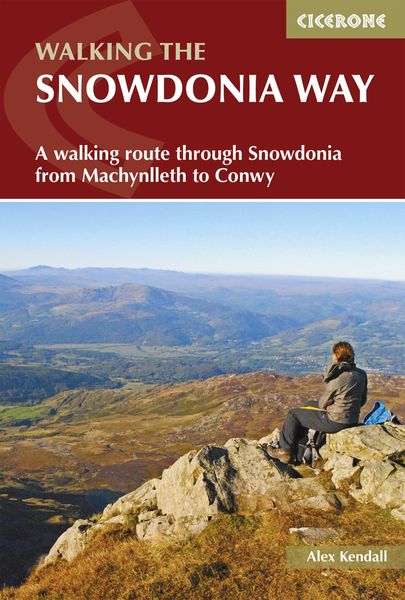
The Snowdonia Way A walking route through Eryri from Machynlleth to Conwy
-
- Taschenbuch
- eBook ausgewählt
-
Form:Einzelkauf Download
-
Sprache:Englisch
26,99 €
inkl. gesetzl. MwSt.Beschreibung
Produktdetails
Format
ePUB
Kopierschutz
Nein
Family Sharing
Nein
Text-to-Speech
Ja
Erscheinungsdatum
11.01.2024
Verlag
Cicerone PressSeitenzahl
176 (Printausgabe)
Dateigröße
23924 KB
Sprache
Englisch
EAN
9781783624553
Discover the sparkling mountain streams, dramatic valleys, lush wooded hillsides, and expansive moorland along the Snowdonia Way, a remarkable long-distance trail winding through the heart of Eryri (Snowdonia) National Park. Spanning 156km (97 miles) from Machynlleth in the south to Conwy in the north, this iconic route leads you through a landscape steeped in history, from ancient druids and Roman invaders to the legends of King Arthur and the great Welsh princes.
Perfect for adventurous walkers able to tackle a day on rolling terrain with a backpack, this comprehensive guidebook breaks the Snowdonia Way into 6 manageable daily stages, including an alternative high-level route through the mountains. Along the way, you'll encounter fascinating relics of the region's industrial heritage, spot wildlife and cascading waterfalls, and enjoy welcoming pubs and cafés.
The route is described from south to north, with each stage route description accompanied by 1:50,000 Ordnance Survey maps to ensure confident navigation throughout.
- 6 stage-by-stage route descriptions covering the full Snowdonia Way from Machynlleth to Conwy
- An alternative 9-stage high-level route gives you a spectacular journey over Eryri's mountains, climbing the most famous peaks such as Yr Wyddfa (Snowdon), Cadair Idris, Cnicht and the Glyders
- Clear, step-by-step directions are complemented by detailed maps and downloadable GPX files, making navigation effortless whether you use a GPS device or a smartphone app
- Each stage details distance, estimated walking time, ascent, and a summary of terrain to help you plan every step of your Snowdonia Way adventure
- Detailed 1:50,000 Ordnance Survey maps provide highly accurate, real-world navigation along the Snowdonia Way
- Refreshment stops and accommodation options listed for each stage, including towns and villages such as Bethesda, Conwy, and Beddgelert
Plan your Snowdonia Way adventure with confidence and experience the best of the Eryri (Snowdonia) National Park with this definitive guidebook to one of Wales' finest long-distance walks.
Kundinnen und Kunden meinen
Verfassen Sie die erste Bewertung zu diesem Artikel
Helfen Sie anderen Kund*innen durch Ihre Meinung
Kurze Frage zu unserer Seite
Vielen Dank für Ihr Feedback
Wir nutzen Ihr Feedback, um unsere Produktseiten zu verbessern. Bitte haben Sie Verständnis, dass wir Ihnen keine Rückmeldung geben können. Falls Sie Kontakt mit uns aufnehmen möchten, können Sie sich aber gerne an unseren Kund*innenservice wenden.
zum Kundenservice