Multiscale Hydrologic Remote Sensing Perspectives and Applications
-
- Hardcover
- Taschenbuch ausgewählt
- eBook
-
Sprache:Englisch
176,99 €
inkl. gesetzl. MwSt.,
Beschreibung
Produktdetails
Einband
Taschenbuch
Erscheinungsdatum
22.11.2017
Abbildungen
schwarz-weiss Illustrationen, Tabellen, schwarz-weiss
Herausgeber
Chang Ni-Bin + weitereVerlag
Taylor & FrancisSeitenzahl
568
Maße (L/B/H)
23,4/15,6/3 cm
Gewicht
834 g
Sprache
Englisch
ISBN
978-1-138-07257-2
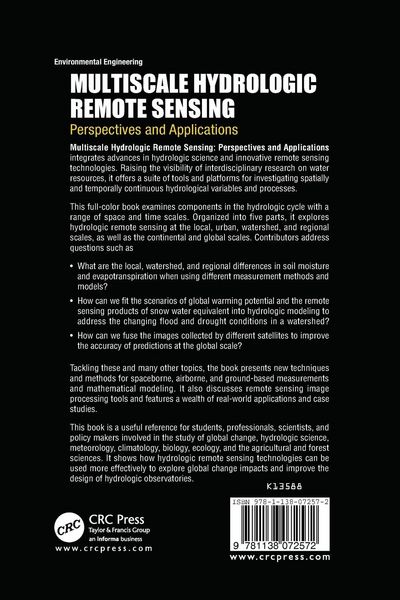
Multiscale Hydrologic Remote Sensing: Perspectives and Applications integrates advances in hydrologic science and innovative remote sensing technologies. Raising the visibility of interdisciplinary research on water resources, it offers a suite of tools and platforms for investigating spatially and temporally continuous hydrological variables and processes.
Illustrated in color, this book examines components in the hydrologic cycle with a range of space and time scales. Organized into five parts, it explores hydrologic remote sensing at the local, urban, watershed, and regional scales, as well as the continental and global scale. Contributors address questions such as
- What are the local, watershed, and regional differences in soil moisture and evapotranspiration when using different measurement methods and models?
- How can we fit the scenarios of global warming potential and the remote sensing products of snow water equivalent into hydrologic modeling to address the changing flood and drought conditions in a watershed?
- How can we fuse the images collected by different satellites to improve the accuracy of predictions at the global scale?
Tackling these and many other topics, the book presents new techniques and methods for spaceborne, airborne, and ground-based measurements and mathematical modeling. It also discusses remote sensing image processing tools and features a wealth of real-world applications and case studies.
This book is a useful reference for students, professionals, scientists, and policy makers involved in the study of global change, hydrologic science, meteorology, climatology, biology, ecology, and the agricultural and forest sciences. It shows how hydrologic remote sensing technologies can be used more effectively to explore global change impacts and improve the design of hydrologic observatories.
Kundinnen und Kunden meinen
Verfassen Sie die erste Bewertung zu diesem Artikel
Helfen Sie anderen Kund*innen durch Ihre Meinung
Kurze Frage zu unserer Seite
Vielen Dank für Ihr Feedback
Wir nutzen Ihr Feedback, um unsere Produktseiten zu verbessern. Bitte haben Sie Verständnis, dass wir Ihnen keine Rückmeldung geben können. Falls Sie Kontakt mit uns aufnehmen möchten, können Sie sich aber gerne an unseren Kund*innenservice wenden.
zum Kundenservice