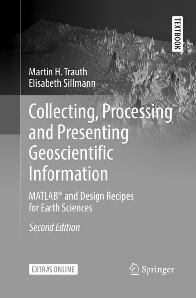
Collecting, Processing and Presenting Geoscientific Information MATLAB® and Design Recipes for Earth Sciences
-
- Hardcover
- Taschenbuch ausgewählt
- eBook
-
Sprache:Englisch
66,99 €
UVP
74,89 €
inkl. gesetzl. MwSt.,
Beschreibung
Produktdetails
Einband
Taschenbuch
Erscheinungsdatum
01.02.2019
Abbildungen
XIII, 53 illus., 48 illus. in color., farbige Illustrationen, schwarz-weiss Illustrationen
Verlag
Springer BerlinSeitenzahl
274
Maße (L/B/H)
23,5/15,5/1,6 cm
Gewicht
444 g
Auflage
Second Edition 2018
Sprache
Englisch
ISBN
978-3-662-58572-6
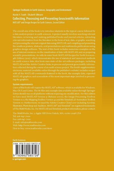
This second edition is an intensively revised and updated version of the book MATLAB® and Design Recipes for Earth Sciences . It aims to introduce students to the typical course followed by a data analysis project in earth sciences. A project usually involves searching relevant literature, reviewing and ranking published books and journal articles, extracting relevant information from the literature in the form of text, data, or graphs, searching and processing the relevant original data using MATLAB, and compiling and presenting the results as posters, abstracts, and oral presentations using graphics design software. The text of this book includes numerous examples on the use of internet resources, on the visualization of data with MATLAB, and on preparing scientific presentations. As with the book MATLAB Recipes for Earth Sciences–4rd Edition (2015), which demonstrates the use of statistical and numerical methods on earth science data, this book uses state-of-the art software packages, including MATLAB and the Adobe Creative Suite, to process and present geoscientific information collected during the course of an earth science project. The book's supplementary electronic material (available online through the publisher's website) includes color versions of all figures, recipes with all the MATLAB commands featured in the book, the example data, exported MATLAB graphics, and screenshots of the most important steps involved in processing the graphics.
Noch keine Bewertungen vorhanden
Verfassen Sie die erste Bewertung zu diesem Artikel
Helfen Sie anderen Kundinnen und Kunden durch Ihre Meinung.
Kurze Frage zu unserer Seite
Vielen Dank für Ihr Feedback
Wir nutzen Ihr Feedback, um unsere Produktseiten zu verbessern. Bitte haben Sie Verständnis, dass wir Ihnen keine Rückmeldung geben können. Falls Sie Kontakt mit uns aufnehmen möchten, können Sie sich aber gerne an unseren Kund*innenservice wenden.
zum Kundenservice