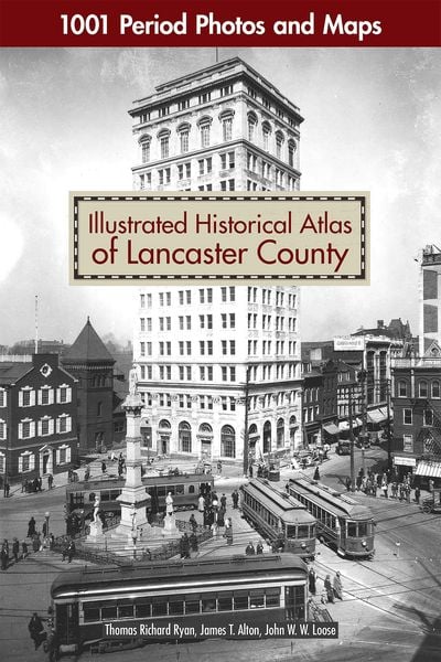
Illustrated Historical Atlas of Lancaster County 1001 Period Photos and Maps
-
- Englisch ausgewählt
55,99 €
inkl. gesetzl. MwSt.,
Beschreibung
Produktdetails
Einband
Taschenbuch
Erscheinungsdatum
31.12.2023
Verlag
David & CharlesSeitenzahl
240
Maße (L/B)
43,2/30,5 cm
Gewicht
45 g
Sprache
Englisch
ISBN
978-1-4971-0066-4
Lovers of Lancaster and maven map collectors will be delighted to own this beautiful atlas that offers a vivid and rare picture of life in historic Lancaster County, Pennsylvania. More than just a large format, full-color reproduction of the original 1899 maps, Illustrated Historical Atlas of Lancaster County takes you on a complete tour of the county -- township-by-township, borough-by-borough -- from Elizabethtown to Little Britain, from Columbia to Terre Hill. Spanning over three centuries, this book contains hundreds of maps and archival photos from local historical societies and private collections to provide a glimpse into the people, homes, places of worship, amusements, businesses, and more of the area throughout the 1900s. Go back in time and see the land you love from a whole new perspective!
Noch keine Bewertungen vorhanden
Verfassen Sie die erste Bewertung zu diesem Artikel
Helfen Sie anderen Kundinnen und Kunden durch Ihre Meinung.
Kurze Frage zu unserer Seite
Vielen Dank für Ihr Feedback
Wir nutzen Ihr Feedback, um unsere Produktseiten zu verbessern. Bitte haben Sie Verständnis, dass wir Ihnen keine Rückmeldung geben können. Falls Sie Kontakt mit uns aufnehmen möchten, können Sie sich aber gerne an unseren Kund*innenservice wenden.
zum Kundenservice