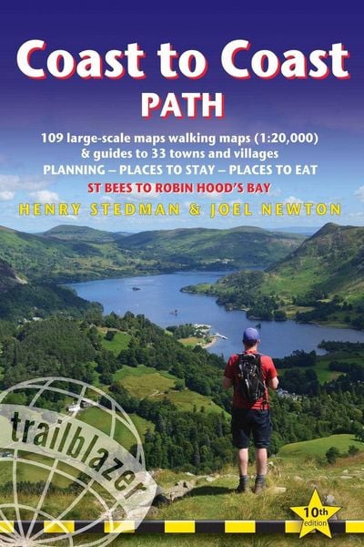
Coast to Coast Path St Bees to Robin Hoods Bay
-
- Englisch ausgewählt
21,99 €
UVP
24,90 €
inkl. gesetzl. MwSt.,
Beschreibung
Produktdetails
Verkaufsrang
3750
Einband
Taschenbuch
Erscheinungsdatum
01.08.2023
Herausgeber
Joel NewtonVerlag
GeoCenter TouristikSeitenzahl
288
Maße (L/B/H)
18/12,1/1,7 cm
Gewicht
268 g
Auflage
10th Edition
Sprache
Englisch
ISBN
978-1-912716-25-8
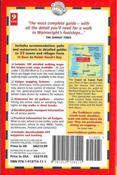
All-in-one hiking route guide, route maps and accommodations for this classic 191-mile walk across northern England from the Irish Sea to the North Sea, inspired by Alfred Wainwright. Includes 109 large-scale maps (3 1/8 inches to 1 mile); 10 town plans and 14 overview maps. Full details of all accommodations and campsites, restaurants and pubs; plus full public transport information. Includes day-walks.
Kundinnen und Kunden meinen
Verfassen Sie die erste Bewertung zu diesem Artikel
Helfen Sie anderen Kund*innen durch Ihre Meinung
Kurze Frage zu unserer Seite
Vielen Dank für Ihr Feedback
Wir nutzen Ihr Feedback, um unsere Produktseiten zu verbessern. Bitte haben Sie Verständnis, dass wir Ihnen keine Rückmeldung geben können. Falls Sie Kontakt mit uns aufnehmen möchten, können Sie sich aber gerne an unseren Kund*innenservice wenden.
zum Kundenservice