London a-Z Pocket Atl Pb
-
- Englisch ausgewählt
8,99 €
inkl. gesetzl. MwSt.,
Beschreibung
Produktdetails
Einband
Taschenbuch
Erscheinungsdatum
16.02.2023
Verlag
Collins ELTSeitenzahl
384
Maße (L/B/H)
15,1/8,9/1,8 cm
Gewicht
200 g
Farbe
Beige / Anthrazit
Sprache
Englisch
ISBN
978-0-00-858177-0
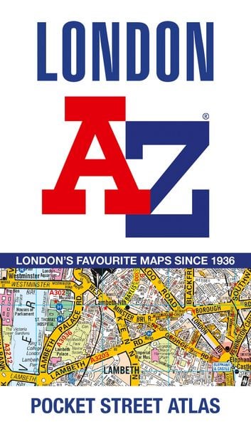
A pocket-sized, paperback street atlas of Central London and the surrounding areas in full colour.
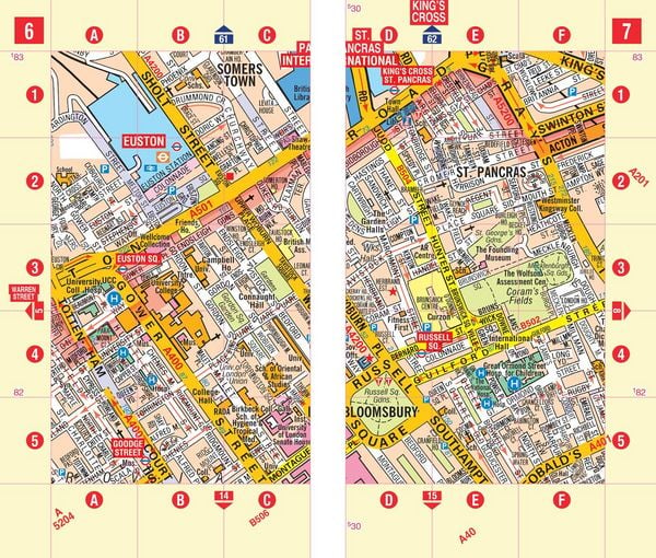
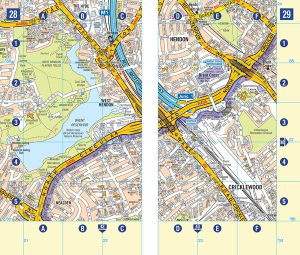
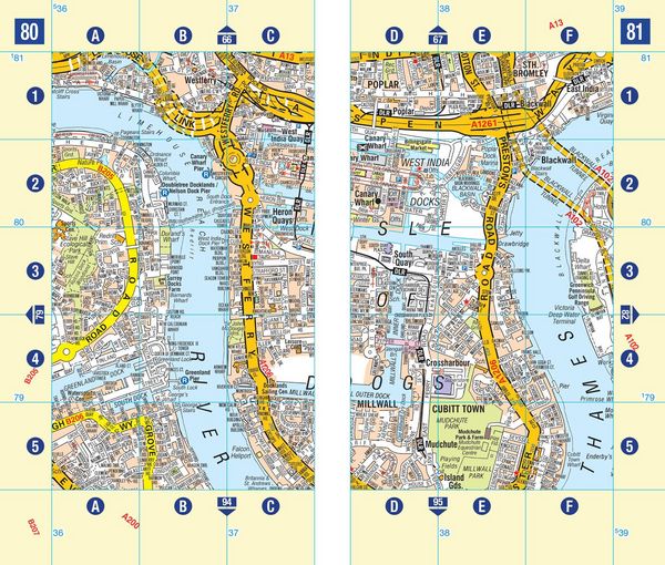
Covering an area extending from the centre of London to: Brent Cross, Golders Green, Highgate, Finsbury Park, Stoke Newington, Leytonstone, Wanstead, West Ham, Thames Flood Barrier, Eltham, Grove Park, Catford, Streatham, Wimbledon, Barnes Bridge, Willesden Junction, Neasden.
Highlights include:
- Large scale 3 inches to 1 mile map
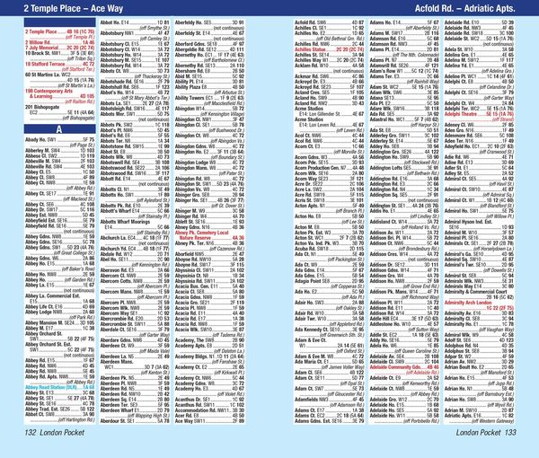
- Index to more than 35,700 streets
- Additional street map section of the inner London area which extends north to Regent's Park and Shoreditch, south to London Victoria station and Lambeth, west to Hyde Park and east to Tower Bridge
- One-way streets and safety camera locations with their maximum speed limit are featured on both scales of street mapping
- Congestion charging zone boundary is shown on both scales of mapping
The comprehensive index lists streets, selected flats, walkways and places of interest, place, area and junction names. There are separate index listings for both hospitals, walk-in centres and hospices and for the National Rail, London Tramlink, Docklands Light Railway, London Underground and Overground stations and River Bus piers covered by this atlas.
Previously published as London Mini A-Z Street Atlas.
Noch keine Bewertungen vorhanden
Verfassen Sie die erste Bewertung zu diesem Artikel
Helfen Sie anderen Kundinnen und Kunden durch Ihre Meinung.
Kurze Frage zu unserer Seite
Vielen Dank für Ihr Feedback
Wir nutzen Ihr Feedback, um unsere Produktseiten zu verbessern. Bitte haben Sie Verständnis, dass wir Ihnen keine Rückmeldung geben können. Falls Sie Kontakt mit uns aufnehmen möchten, können Sie sich aber gerne an unseren Kund*innenservice wenden.
zum Kundenservice