Beschreibung
Produktdetails
Einband
Taschenbuch
Erscheinungsdatum
09.05.2024
Verlag
Collins ELTSeitenzahl
320
Maße (L/B/H)
28,3/20,6/1,6 cm
Gewicht
840 g
Sprache
Englisch
ISBN
978-0-00-866350-6
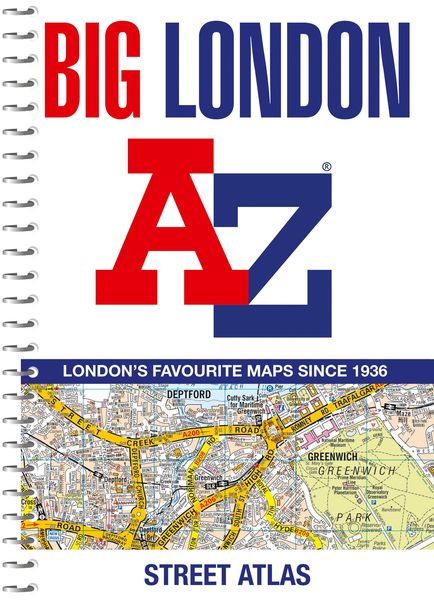
Navigate your way around London with this detailed, easy-to-use and up-to-date A-Z Street Atlas.
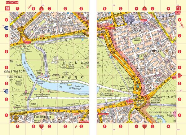
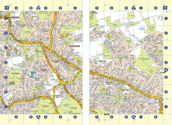
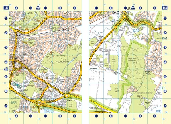
Large scale A-Z street mapping of London. This A4 street atlas offers the perfect combination of coverage and clarity, the area covered ranges from Heathrow Airport all the way to Chingford at a scale of 4.25 inches to 1 mile (6.71 cm to 1 km), while a detailed map of Central London is at a larger scale of 8.5 inches to 1 mile (13.42 cm to 1 km).
The mapping features transport connections, places of interest, public buildings, postcode districts, one-way streets, Congestion and Low Emission Zones
This comprehensive street atlas of London also includes:
¿ An overview map of the Congestion Charging Zone, and the Ultra Low and Low Emission Zones
¿ West End Theatre and Cinema maps
¿ The London Rail & Tube Services Map
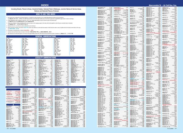
A comprehensive index lists streets, selected flats, walkways and places of interest, place, area and junction names. Additional healthcare (hospitals, walk-in centres and hospices) and transport (National Rail, London Tramlink, Docklands Light Railway, London Underground and Overground stations, and River Bus pier) are indexed as well.
Kundinnen und Kunden meinen
Verfassen Sie die erste Bewertung zu diesem Artikel
Helfen Sie anderen Kund*innen durch Ihre Meinung
Kurze Frage zu unserer Seite
Vielen Dank für Ihr Feedback
Wir nutzen Ihr Feedback, um unsere Produktseiten zu verbessern. Bitte haben Sie Verständnis, dass wir Ihnen keine Rückmeldung geben können. Falls Sie Kontakt mit uns aufnehmen möchten, können Sie sich aber gerne an unseren Kund*innenservice wenden.
zum Kundenservice