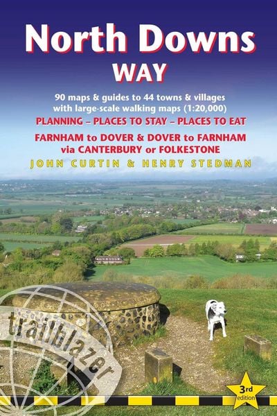


North Downs Way
-
- Englisch ausgewählt
21,99 €
UVP
24,90 €
inkl. gesetzl. MwSt.,
Beschreibung
Produktdetails
Einband
Taschenbuch
Erscheinungsdatum
12.11.2025
Verlag
GeoCenter TouristikSeitenzahl
216
Maße (L/B/H)
24,7/12,9/1,4 cm
Gewicht
219 g
Auflage
3. Auflage
Sprache
Englisch
ISBN
978-1-912716-50-0
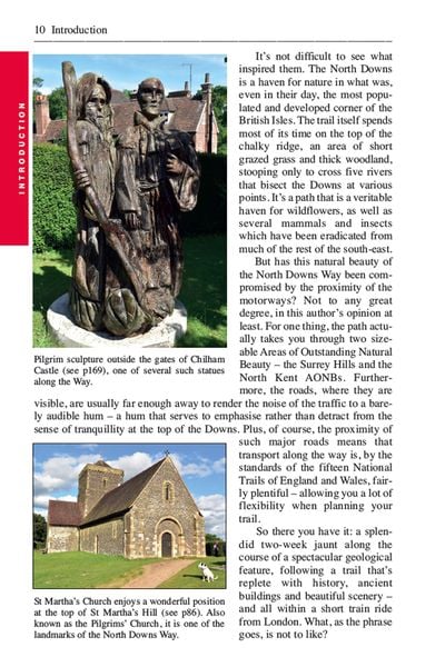
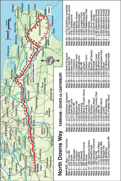
The North Downs Way is a 131.6-mile (211.6km) National Trail that runs from Farnham in Surrey to Dover in Kent, partly following the old Pilgrims’ Way to the shrine of St Thomas à Becket at Canterbury. It winds through the protected landscape of the Surrey Hills and the Kent Downs passing medieval churches, castles, Neolithic burial sites, vineyards and numerous WWII defences. There are literary associations with Swift, Cobbett, Charles Dickens and Jane Austen. It’s not a difficult walk, with few steep ascents or descents. An alternative route runs via Folkestone.
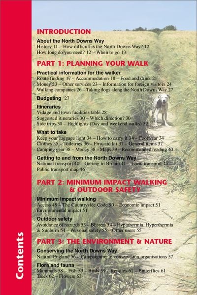
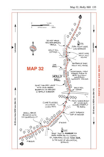
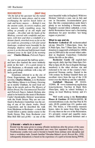
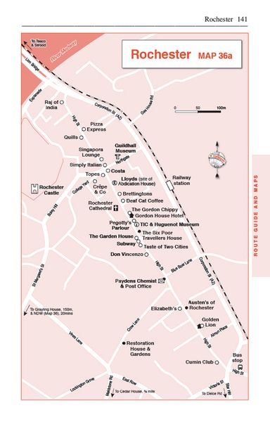
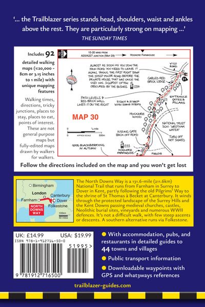
All-in-one hiking route guide, maps and accommodations. Includes 90 large-scale walking maps (3 1/8 inches to 1 mile); 12 town maps and 10 stage maps. Full details of all accommodations and campsites, restaurants and pubs; plus full public transport information. Includes day-walks.
- Booking & Getting to the UK - information for US travelers
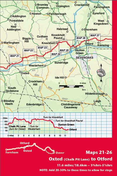
- 112 Maps: 90 large-scale walking maps - 1:20,000 (3-1/8 inches to 1 mile), 12 town plans, 10 stage maps with trail profiles showing hills and descents, and 2 overview maps.
- Detailed accommodations with reviews: B&Bs, campsites, pubs, hotels, bunkhouses.
- Where to eat with reviews: cafes, teashops, pubs, takeaways and restaurants.
- Comprehensive public transport information with frequency of services for all access points on the Path.
- Downloadable GPS waypoints with what3words references.
- Itineraries for all walkers, whether hiking the entire route or sampling highlights on day walks, weekends or short breaks.
- Unique mapping features - walking times, directions, tricky junctions, places to stay, places to eat, points of interest written onto the maps.
- Flora and fauna - four page full color flower guide, plus an illustrated section on local wildlife
- Green hiking - understanding the local environment and minimizing our impact on it.
- Now rewritten as a two-way guide for walking from Farnham to Dover and Dover to Farnham on both the route via Canterbury and the alternative route via Folkestone.
Noch keine Bewertungen vorhanden
Verfassen Sie die erste Bewertung zu diesem Artikel
Helfen Sie anderen Kundinnen und Kunden durch Ihre Meinung.
Kurze Frage zu unserer Seite
Vielen Dank für Ihr Feedback
Wir nutzen Ihr Feedback, um unsere Produktseiten zu verbessern. Bitte haben Sie Verständnis, dass wir Ihnen keine Rückmeldung geben können. Falls Sie Kontakt mit uns aufnehmen möchten, können Sie sich aber gerne an unseren Kund*innenservice wenden.
zum Kundenservice