Beschreibung
Produktdetails
Einband
Taschenbuch
Erscheinungsdatum
13.03.2025
Verlag
Collins ELTSeitenzahl
280
Maße (L/B/H)
26,9/20,1/1,5 cm
Gewicht
720 g
Sprache
Englisch
ISBN
978-0-00-871919-7
Navigate your way around Great Britain with this detailed and easy-to-use A-Z Road Atlas
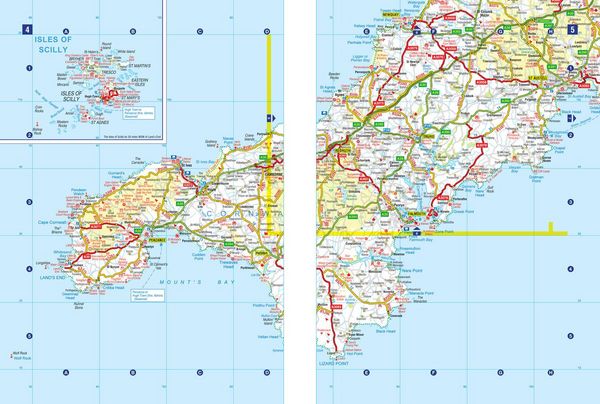
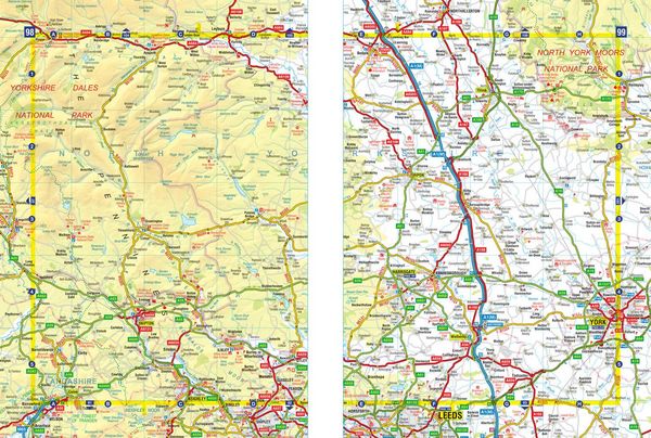
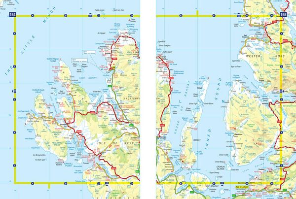
A spiral bound, full-colour road atlas, now fully revised and updated. Clear detailed road mapping at a mainland map scale of 3.5 miles to 1 inch. Published in an easy-to-read A4 size.
This essential road atlas includes:
¿ 11 pages of main route mapping covering Greater London, Birmingham and Manchester
¿ Route planning maps
¿ Mileage chart with average journey times
¿ 80 city and town centre street plans
¿ 16 port and airport plans
¿ Channel Tunnel terminus maps
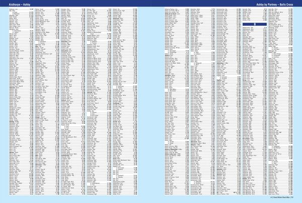
¿ Index to cities, towns, villages, hamlets, major destinations and selected places of interest with postcodes for sat-nav use
¿ Map reference information also in French and German
Instantly recognisable and easy to use, A-Z road mapping includes the following features: clear standard road classification colours for easy identification, full motorway junction detail, under construction and proposed roads, primary route destinations, service areas, selected truck stop locations, national and county boundaries and a wide range of tourist and ancillary information, including Blue Flag Beaches.
A portable sized publication with a spiral binding; a popular choice for those wanting superb map clarity.
Noch keine Bewertungen vorhanden
Verfassen Sie die erste Bewertung zu diesem Artikel
Helfen Sie anderen Kundinnen und Kunden durch Ihre Meinung.
Kurze Frage zu unserer Seite
Vielen Dank für Ihr Feedback
Wir nutzen Ihr Feedback, um unsere Produktseiten zu verbessern. Bitte haben Sie Verständnis, dass wir Ihnen keine Rückmeldung geben können. Falls Sie Kontakt mit uns aufnehmen möchten, können Sie sich aber gerne an unseren Kund*innenservice wenden.
zum Kundenservice