Beschreibung
Produktdetails
Einband
Loseblatt
Erscheinungsdatum
14.08.2025
Abbildungen
Full colour harbour chartlets and diagrams throughout
Verlag
BloomsburySeitenzahl
1104
Maße (L/B/H)
30,6/25,8/7,4 cm
Gewicht
2850 g
Sprache
Englisch
ISBN
978-1-399-42496-7
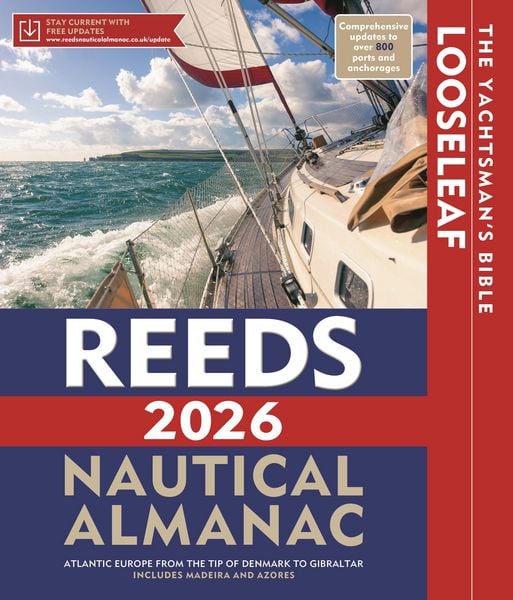
The Reeds Looseleaf Almanac provides all the information required to navigate Atlantic coastal waters around the UK, Ireland, Channel Islands, and the western European coastline from the tip of Denmark right down to Gibraltar, including the Azores and Madeira.
This is a versatile system that combines almanac and pilotage information in a convenient looseleaf form. This unique format, bound inside a durable binder which stays open on the chart table, lets the user tailor the Almanac to their needs by personalising the contents supplied with whatever information they may want to add or take out. Information is quick and easy to access, whilst allowing the navigator to refresh it with the annual update pack.
Includes 700 harbour chartlets, harbour facilities, tide tables and streams, 7,500 waypoints, international codes and flags, weather, distance tables, passage advice, area planning charts, rules of the road, radio information, communications, safety, mayday and distress procedures, and documentation and customs. The 2026 edition is updated throughout, containing over 45,000 changes, and includes a free Reeds Marina Guide.
"There are some things I would not go to sea without - Reeds is one of them" Sir Chay Blyth
"The big, bold, extravagantly comprehensive king of Almanacs" Yachting World
Noch keine Bewertungen vorhanden
Verfassen Sie die erste Bewertung zu diesem Artikel
Helfen Sie anderen Kundinnen und Kunden durch Ihre Meinung.
Kurze Frage zu unserer Seite
Vielen Dank für Ihr Feedback
Wir nutzen Ihr Feedback, um unsere Produktseiten zu verbessern. Bitte haben Sie Verständnis, dass wir Ihnen keine Rückmeldung geben können. Falls Sie Kontakt mit uns aufnehmen möchten, können Sie sich aber gerne an unseren Kund*innenservice wenden.
zum Kundenservice