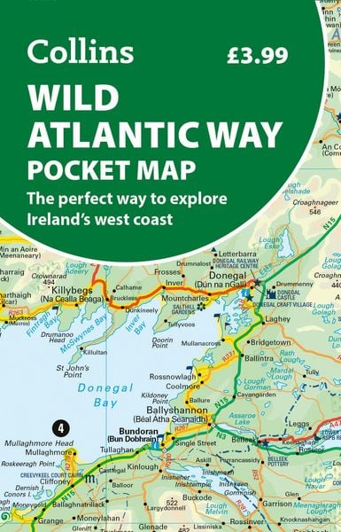
Wild Atlantic Way Pocket Mfo The Perfect Way to Explore Ireland’s West Coast
-
- Englisch ausgewählt
5,79 €
inkl. gesetzl. MwSt.,
Beschreibung
Produktdetails
Verkaufsrang
44502
Einband
Karte
Erscheinungsdatum
12.02.2026
Verlag
Collins ELTMaße (L/B/H)
14,2/9,5/3 cm
Gewicht
40 g
Farbe
Mint / Grasgrün
Sprache
Englisch
ISBN
978-0-00-878041-8
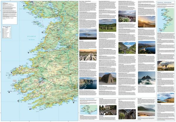
As one of the longest defined coast routes in the world, the Wild Atlantic Way spans from the Inishowen Peninsula in Co. Donegal to Kinsale in Co. Cork. Travelers exploring the route can expect to see incredibly varied landscapes from dramatic cliffs to picturesque villages to sandy beaches.
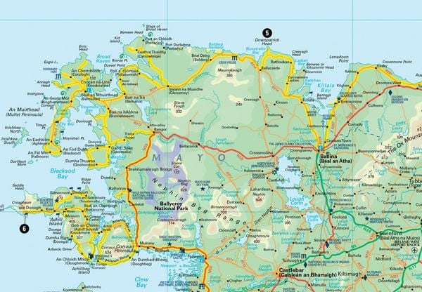
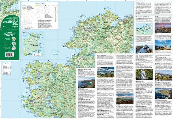
This full-colour map of Ireland's Wild Atlantic Way has a high level of detail with clear mapping of the full 2500 km (over 1500 miles) route, showing the road network and places of interest. It's an ideal purchase for tourists, locals, hikers and adventurers with places of interest marked - including famous filming locations. It is excellent value and very detailed for its size, covering the whole of the Wild Atlantic Way.
This map includes:
¿ Clear mapping at a scale of 8.7 miles to 1 inch
¿ National Tourist Routes showing best routes through the most scenic areas
¿ Places of interest include film locations, such as Star Wars
¿ Tourist and signature locations clearly marked
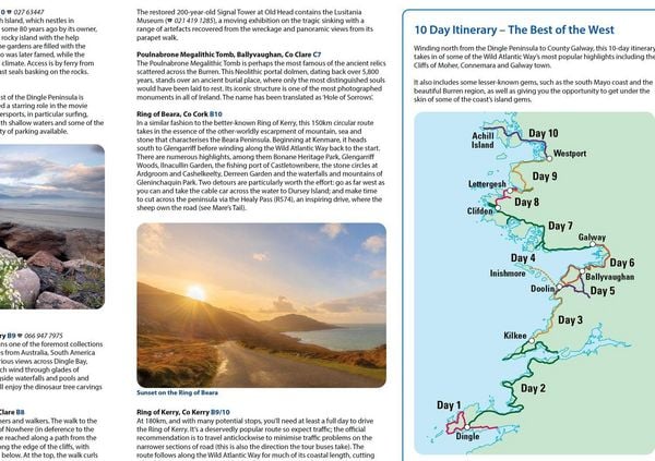
¿ Suggested itineraries
¿ Detailed place names index
¿ Ideal companion to a sat-nav - it enables route planning and route sense-checking
Noch keine Bewertungen vorhanden
Verfassen Sie die erste Bewertung zu diesem Artikel
Helfen Sie anderen Kundinnen und Kunden durch Ihre Meinung.
Kurze Frage zu unserer Seite
Vielen Dank für Ihr Feedback
Wir nutzen Ihr Feedback, um unsere Produktseiten zu verbessern. Bitte haben Sie Verständnis, dass wir Ihnen keine Rückmeldung geben können. Falls Sie Kontakt mit uns aufnehmen möchten, können Sie sich aber gerne an unseren Kund*innenservice wenden.
zum Kundenservice