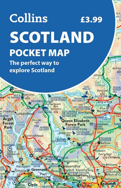
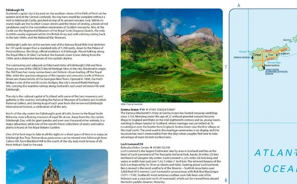
Scotland Pocket Map The Perfect Way to Explore Scotland
-
- Englisch ausgewählt
6,99 €
inkl. gesetzl. MwSt.,
Beschreibung
Produktdetails
Einband
Karte
Erscheinungsdatum
12.03.2026
Abbildungen
Index
Verlag
Collins ELTSeitenzahl
2
Maße (L/B/H)
13,9/9,1/0,8 cm
Gewicht
42 g
Sprache
Englisch
ISBN
978-0-00-875170-8
Discover new places with handy pocket maps from Collins.
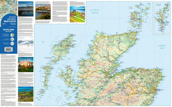
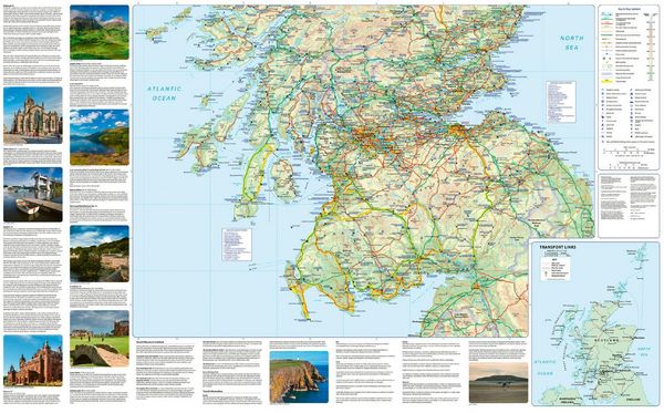
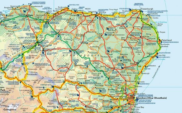
Fully updated and very detailed for its size, this is a full-colour, double-sided map of Scotland. Showing the Central Belt, southern Scotland and northern England on one side, and northern Scotland including Orkney and Shetland on the reverse.
With its rugged landscapes and breathtaking scenery, Scotland is known for its cities, castles, and wildlife. Visitors can see historic sites, enjoy local food, and explore the Highlands. Scotland also has many islands, such as the Hebrides, Orkney, and Shetland, offering quiet beaches, wildlife, and small villages to discover.
This map features:
- Clear mapping at a scale of 8.7 miles to 1 inch
- National Tourist Routes showing best routes through the most scenic areas
- Top 100 places of interest
- Park and Ride locations
- Ideal companion to a sat-nav - it enables route planning and route sense-checking
Essential for those visiting or living in Scotland.
Noch keine Bewertungen vorhanden
Verfassen Sie die erste Bewertung zu diesem Artikel
Helfen Sie anderen Kundinnen und Kunden durch Ihre Meinung.
Kurze Frage zu unserer Seite
Vielen Dank für Ihr Feedback
Wir nutzen Ihr Feedback, um unsere Produktseiten zu verbessern. Bitte haben Sie Verständnis, dass wir Ihnen keine Rückmeldung geben können. Falls Sie Kontakt mit uns aufnehmen möchten, können Sie sich aber gerne an unseren Kund*innenservice wenden.
zum Kundenservice