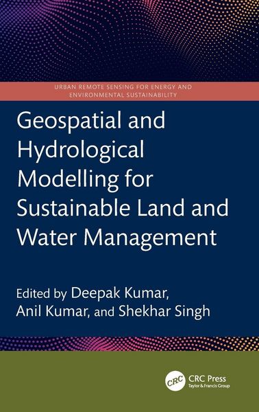
Geospatial and Hydrological Modelling for Sustainable Land and Water Management
215,99 €
inkl. gesetzl. MwSt.,
Beschreibung
Produktdetails
Einband
Gebundene Ausgabe
Erscheinungsdatum
06.04.2026
Abbildungen
schwarz-weiss Illustrationen, farbige Illustrationen, Raster,schwarz-weiss, Raster, farbig, Zeichnungen, schwarz-weiss, Zeichnungen, farbig, Tabellen, schwarz-weiss
Herausgeber
Deepak Kumar + weitereVerlag
Taylor & FrancisSeitenzahl
320
Maße (L/B/H)
23,4/15,6/1,9 cm
Gewicht
626 g
Sprache
Englisch
ISBN
978-1-03-297423-1
This book presents a holistic scientific approach to addressing current and future challenges in the sustainable management of land and water resources, supported by geospatial and hydrological modelling. It explores remote sensing integrated with hydrological modelling for watershed management, land and water resource planning, soil erosion and sediment transport studies using satellite data, and climate change impact assessments on land and water systems all illustrated through case studies.
- Focuses on both geospatial and hydrological modelling for effective land and water resource management
- Covers topics including Google Earth Engine, forest land management, coastal land issues, geo-hydrology, and salinity problems
- Discusses Intergovernmental Panel on Climate Change (IPCC) guidelines for water resource management
- Incorporates big data and machine learning applications in water resource management
- Reviews digital image processing techniques applied to satellite data
This book is intended for researchers and professionals in hydrological engineering, geospatial technologies, and environmental engineering.
Noch keine Bewertungen vorhanden
Verfassen Sie die erste Bewertung zu diesem Artikel
Helfen Sie anderen Kundinnen und Kunden durch Ihre Meinung.
Kurze Frage zu unserer Seite
Vielen Dank für Ihr Feedback
Wir nutzen Ihr Feedback, um unsere Produktseiten zu verbessern. Bitte haben Sie Verständnis, dass wir Ihnen keine Rückmeldung geben können. Falls Sie Kontakt mit uns aufnehmen möchten, können Sie sich aber gerne an unseren Kund*innenservice wenden.
zum Kundenservice