Beschreibung
Produktdetails
Einband
Taschenbuch
Erscheinungsdatum
20.07.2026
Verlag
Independently PublishedSeitenzahl
274
Maße (L/B/H)
22,9/15,2/1,5 cm
Gewicht
371 g
Sprache
Englisch
EAN
9798188107611
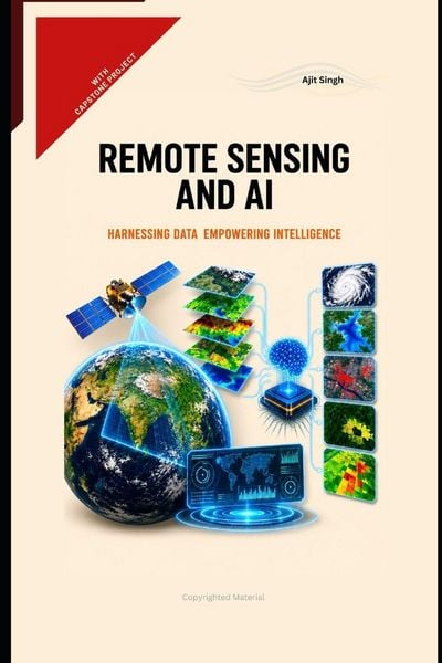
"Remote Sensing and AI" is a comprehensive, highly practical, and industry-focused manual designed to teach the end-to-end development of artificial intelligence applications using geospatial and satellite data. This section provides a detailed explanation of the book's core philosophy, pedagogical structure, key features, target audience, and the primary takeaways readers will acquire upon completion.
Philosophy The guiding philosophy of this book is strictly centered on practical implementation and real-world applicability. In the rapidly evolving tech industry, possessing theoretical knowledge of neural networks or satellite wavebands is insufficient; professionals must know how to design, code, deploy, and maintain working systems. Therefore, this book deliberately minimizes abstract, academic theory. Instead, it treats theory strictly as a foundational tool required to achieve successful software implementation. Key Features 1. End-to-End Coverage: It covers the complete lifecycle of a software product-from data sourcing and framework design to building the AI model, setting up the backend services, and implementing the final cloud deployment. 2. Current and Future Industry Trends: The content is heavily aligned with modern stacks, focusing on Cloud-Native Geospatial architectures, MLOps (Machine Learning Operations), Edge AI, and API integrations. 3. Comprehensive First Chapter: The opening chapter lays a flawless foundation, detailing the exact definitions, history, evolution, version comparisons, components, functions, advantages, and applications of the field, ensuring no prior domain knowledge is required. 4. Live DIY Capstone Project: Chapter 10 is entirely dedicated to a massive, fully functional Capstone Project. It provides the complete, working code for a real-life application, accompanied by step-by-step explanations of the design, functioning, and mode of operations. 5. Scalability and Services: Extensive coverage of deploying models as scalable web services, utilizing components like Docker, cloud infrastructure, and modern deployment frameworks. Key Takeaways By the time you finish the final capstone project in Chapter 10, you will possess the following actionable skills: 1. The ability to confidently design, build, and deploy an end-to-end Geospatial AI application from scratch. 2. A deep understanding of how to source, preprocess, and manage massive satellite datasets using modern cloud APIs and data pipelines. 3. The capability to implement machine learning and deep learning algorithms (using simplified, logical steps) specifically tailored for image classification, object detection, and change detection. 4. Expertise in designing software architectures, selecting the correct frameworks, and integrating various components to ensure system scalability. Disclaimer: Earnest request from the Author. Kindly go through the table of contents and refer kindle edition for a glance on the related contents. Thank you for your kind consideration!Noch keine Bewertungen vorhanden
Verfassen Sie die erste Bewertung zu diesem Artikel
Helfen Sie anderen Kundinnen und Kunden durch Ihre Meinung.
Kurze Frage zu unserer Seite
Vielen Dank für Ihr Feedback
Wir nutzen Ihr Feedback, um unsere Produktseiten zu verbessern. Bitte haben Sie Verständnis, dass wir Ihnen keine Rückmeldung geben können. Falls Sie Kontakt mit uns aufnehmen möchten, können Sie sich aber gerne an unseren Kund*innenservice wenden.
zum Kundenservice